
Hike and bike
December 18, 2017
10x Buenos Aires
December 24, 2017Our best cycling apps
Actually we don't use that many apps on our phone. As cyclists we would like to know three things: how is the weather, what does the road look like and where do we sleep tonight. There is a bunch of apps for this, but the following 3 are our best cycling apps.
iOverlander
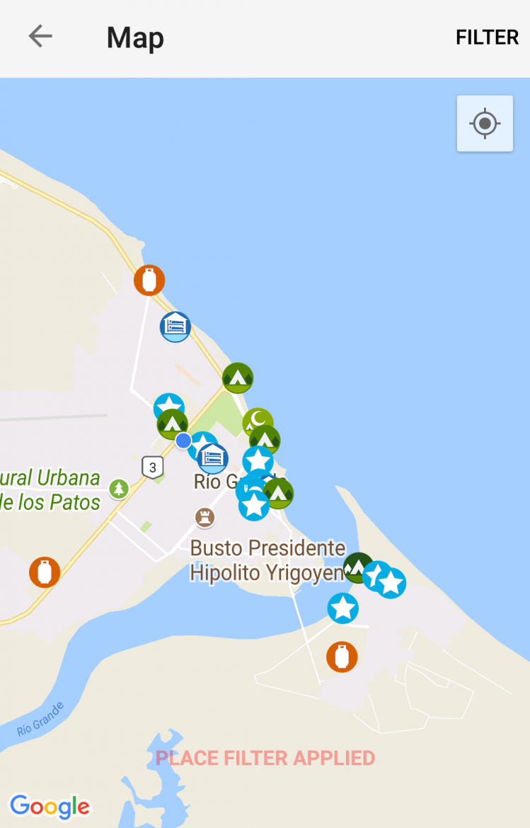
iOverlander is an open source where travellers can add information like camping spots, supermarkets and ATM's. The app was initiated by Overlanders, travellers going around in a jeep or campervan, but know cyclists start adding information. It's full off all the information you need to know as a traveller. Wild camping spots with the necessary information, cheap restaurants, border crossings, shops, ferries, etc. Every user can add new information and give comments on the places he has been.
All places are visible on a map and are easy to check. You can open the exact location of a spot in your navigation app, like OSMAnd, and save the location for later. You can turn on the filter to hide things like service centers or parking lots, because you won't need them as a cyclist. Since we know iOverlander, we use it everyday. It makes our cycling adventure are bit easier!
Windy
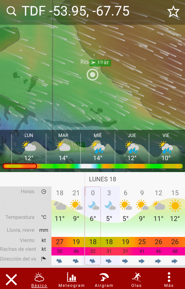
We tried ten different apps for the weather predictions but none of them was really reliable. Especially in Argentina the wind predictions are extremely important. After a long search we ended up on the windy.com website and finally we found some reliable forecasts. We saw they have a free app and found what we needed. The weather and wind forecasts are very accurate and make us be prepared for the next cycling day. The apps shows a lot more information, like air pressure and waves, but the wind and rain is sufficient for a cyclist. Next to the reliability the results are shown in a very user friendly and graphical way. The map wind the wind vectors shows exactly the wind direction on your cycling route the next days. Since we use this app, we aren't surprised by a strong head wind which mixes up our planning. Definitely a must have app!
OSMAnd
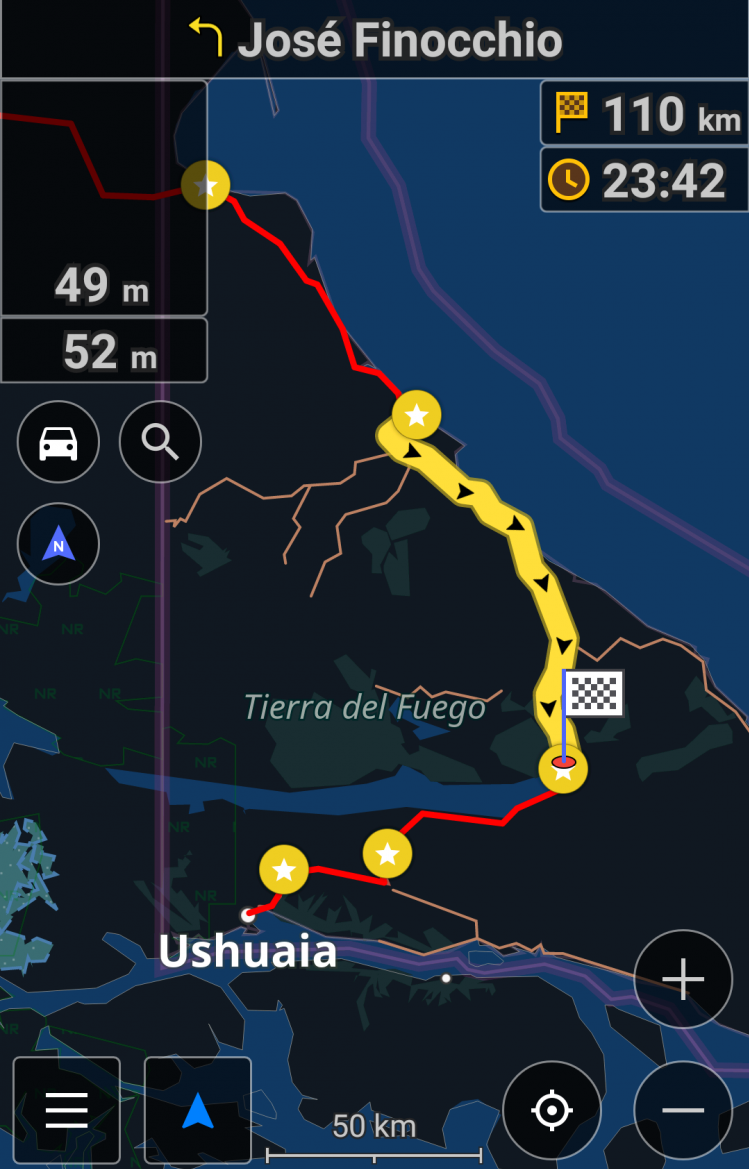
OSMAnd is the abbreviation for Open Street Map Android and is a very easy and useful app. Navigating is easy based on a address, a POI or a single point on the map. Because the app is based on the open street maps, the information is super accurate. Next to this all the useful places, like supermarkets, hostels and ATM's are available offline. You can choose in between three different modes of transport: car, bicycle and walking. For every type different settings can be applied, like level of detail, cycling routes, etc. The app chooses for the best cycling route and for a cycling path when available. In the mountains the altitude profile is extremely useful to know the ascent and toughness of the climb. Next to this it is easy to import self made routes, for example from the internet.
In the free version you are able to download 7 maps for free. Do you want more, you will have to buy the full version, but this €3,50 is worth every cent.
Dark Sky
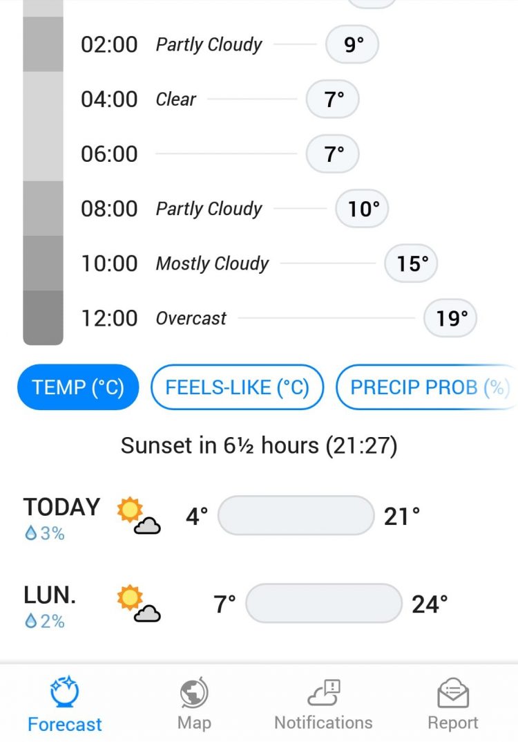
Another weather app we discovered in the United States is Dark Sky. The great thing about this app is the detailed daily forecast that is displayed with a pleasant interface. The most important thing about a weather app is of course the reliability and we also find that very good. We have used this app for hiking, skiing, canoeing and cycling in the US and Canada.
Dark Sky is free, but it is not available in all countries yet. Recently (April 2020) it was bought by Apple, which means that a worldwide rollout is possible. The Dark Sky website states that it is now only available in the US, UK and Ireland, but for us it also works in Canada, Belgium and the Netherlands.



2 Comments
[…] Best cycling apps […]
[…] Best cycling apps […]